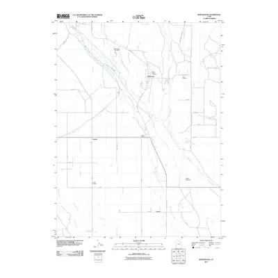
2011 Map of Whiterocks
USGS Topo · Published 2011About this map
Whiterocks and Hayden anchor this landscape in Uintah County, where the desert environment is transformed by a sophisticated network of water engineering. The Uinta River and its West Channel Uinta River are tapped by numerous man-made structures, including the Uintah Number 1 Canal, Harms Canal, and various ditches that sustain local agriculture. Evidence of the region's surveying history is marked by the Uintah Meridian, which intersects the grid near the central settlement of Hayden. Genealogists will find several burial grounds noted, such as White Rocks Cemetery, Harms Cemetery, and Hayden Cemetery. The northern reaches include the Whiterocks Fish Hatchery and the Merkley Reservoir, while the southern portion transitions into the Uinta Bottoms, illustrating the shift from managed waterways to the natural floodplain.
Find a feature on this map
53 named features on this map. Tap any name to fly to it.
Don’t see what you’re looking for? This feature index may not catch every label — zoom into the map to look around manually.
Map Details
Editions of this 2011 Whiterocks Map
This is the sole edition of this map. No revisions or reprints were ever made.
Other maps of this area

1885 · Ashley
USGS Topo · 1:250,000
1885 · Uinta
USGS Topo · 1:250,000
1905 · Gilbert Peak
USGS Topo · 1:125,000
1906 · Gilbert Peak
USGS Topo · 1:125,000
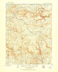
1906 · Marsh Peak
USGS Topo · 1:125,000
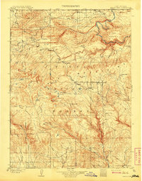
1908 · Marsh Peak
USGS Topo · 1:125,000
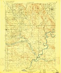
1917 · Vernal
USGS Topo · 1:125,000
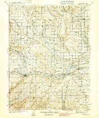
1939 · Duchesne
USGS Topo · 1:125,000
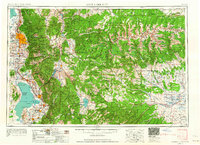
1954 · Salt Lake City
USGS Topo · 1:250,000

1954 · Vernal
USGS Topo · 1:250,000