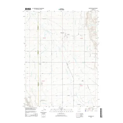
2014 Map of Whiterocks
USGS Topo · Published 2014About this map
Whiterocks sits at the northern edge of this landscape, where the Whiterocks River and Uinta River emerge from the high country into a complex network of man-made waterways. The settlement patterns of Hayden and Leeton are defined by an extensive irrigation system, including the Uintah Independent Canal and the Blackhawk Canal, which transformed these arid benches into productive land. This intricate water management is further evidenced by the Whiterocks and Ouray Valley Canal feeding into the Merkley Reservoir in the northeast. Genealogy and local history are anchored by several community landmarks, notably White Rocks Cem, Harms Cem, and Hayden Cem. The transition from the high-desert plateaus of Blackhawk Bench and Indian Bench to the lush Uinta Bottoms illustrates the fundamental relationship between the region's geography and its reliance on the river system for survival and growth.
Find a feature on this map
83 named features on this map. Tap any name to fly to it.
Don’t see what you’re looking for? This feature index may not catch every label — zoom into the map to look around manually.
Map Details
Editions of this 2014 Whiterocks Map
This is the sole edition of this map. No revisions or reprints were ever made.
Other maps of this area

1885 · Ashley
USGS Topo · 1:250,000

1885 · Uinta
USGS Topo · 1:250,000

1905 · Gilbert Peak
USGS Topo · 1:125,000

1906 · Gilbert Peak
USGS Topo · 1:125,000

1906 · Marsh Peak
USGS Topo · 1:125,000

1908 · Marsh Peak
USGS Topo · 1:125,000

1917 · Vernal
USGS Topo · 1:125,000

1939 · Duchesne
USGS Topo · 1:125,000

1954 · Salt Lake City
USGS Topo · 1:250,000

1954 · Vernal
USGS Topo · 1:250,000