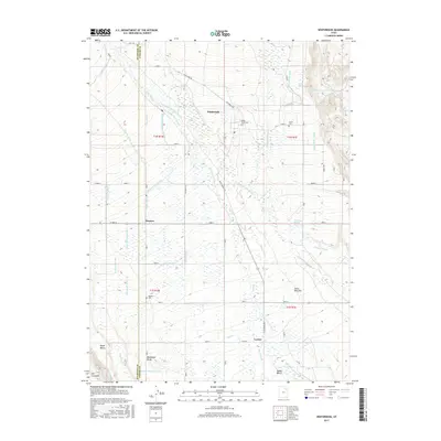
2017 Map of Whiterocks
USGS Topo · Published 2017About this map
The Whiterocks River and its intricate distributary network dominate this high-desert landscape on the border of Duchesne and Uintah counties. The map captures a sophisticated system of agricultural irrigation, where numerous man-made waterways like the Uintah Canal, Larsen Ditch, and Silka Lateral divert water from the river channels to the surrounding benches. This hydro-infrastructure is central to the life of the small settlements at Whiterocks, Hayden, and Leeton.
Find a feature on this map
55 named features on this map. Tap any name to fly to it.
Don’t see what you’re looking for? This feature index may not catch every label — zoom into the map to look around manually.
Map Details
Editions of this 2017 Whiterocks Map
This is the sole edition of this map. No revisions or reprints were ever made.
Other maps of this area
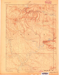
1885 · Ashley
USGS Topo · 1:250,000
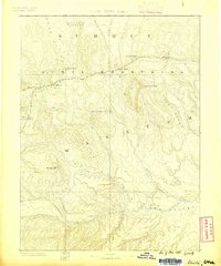
1885 · Uinta
USGS Topo · 1:250,000
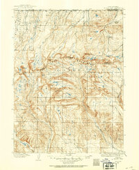
1905 · Gilbert Peak
USGS Topo · 1:125,000
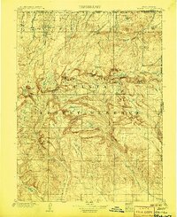
1906 · Gilbert Peak
USGS Topo · 1:125,000
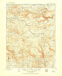
1906 · Marsh Peak
USGS Topo · 1:125,000
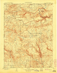
1908 · Marsh Peak
USGS Topo · 1:125,000
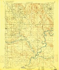
1917 · Vernal
USGS Topo · 1:125,000
1939 · Duchesne
USGS Topo · 1:125,000
1954 · Salt Lake City
USGS Topo · 1:250,000
1954 · Vernal
USGS Topo · 1:250,000