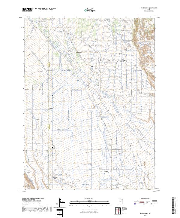
2023 Map of Whiterocks
USGS Topo · Published 2023About this map
Whiterocks and the surrounding high desert terrain define this landscape at the edge of the Uinta Basin, where a sophisticated network of early twentieth-century water engineering sustains the local community. The distribution of water is intricately mapped through features like the Whiterocks Canal, Lassen Ditch, and Bypass Canal, illustrating the vital irrigation system that transformed the arid benches into agricultural land. Significant for genealogists, the map identifies local burial grounds including White Rocks Cem, Harms Cem, and Hayden Cem, which serve as quiet markers of the region's settlement history.
Find a feature on this map
53 named features on this map. Tap any name to fly to it.
Don’t see what you’re looking for? This feature index may not catch every label — zoom into the map to look around manually.
Map Details
Editions of this 2023 Whiterocks Map
This is the sole edition of this map. No revisions or reprints were ever made.
Other maps of this area

1885 · Ashley
USGS Topo · 1:250,000

1885 · Uinta
USGS Topo · 1:250,000

1905 · Gilbert Peak
USGS Topo · 1:125,000

1906 · Gilbert Peak
USGS Topo · 1:125,000

1906 · Marsh Peak
USGS Topo · 1:125,000

1908 · Marsh Peak
USGS Topo · 1:125,000

1917 · Vernal
USGS Topo · 1:125,000

1939 · Duchesne
USGS Topo · 1:125,000

1954 · Salt Lake City
USGS Topo · 1:250,000

1954 · Vernal
USGS Topo · 1:250,000