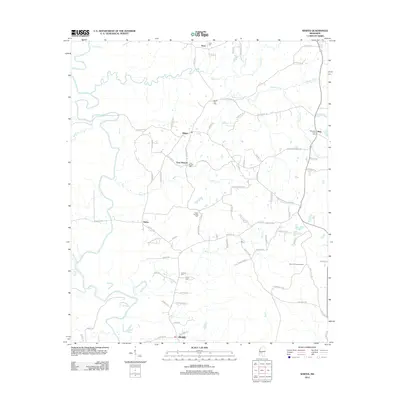
2012 Map of Whites
USGS Topo · Published 2012About this map
The Pearl River creates a meandering natural border along the western edge of this landscape, carving through a region defined by small rural settlements and a network of family-named cemeteries. Communities such as Whites, Alonzo, and Clear Branch serve as central nodes for a web of local roads including Rosemary Rd and Byrd Rd. The terrain is deeply tied to its hydrology, with numerous creeks like Steen Cr, Bear Cr, and Rocky Cr draining the land toward the river basin.
Find a feature on this map
84 named features on this map. Tap any name to fly to it.
Don’t see what you’re looking for? This feature index may not catch every label — zoom into the map to look around manually.
Map Details
Editions of this 2012 Whites Map
This is the sole edition of this map. No revisions or reprints were ever made.
Other maps of this area

1903 · Jackson
USGS Topo · 1:125,000

1906 · Florence
USGS Topo · 1:62,500

1908 · Florence
USGS Topo · 1:62,500
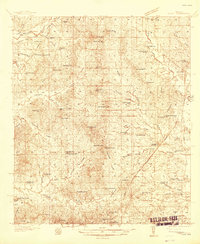
1937 · Terry
USGS Topo · 1:48,000
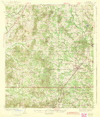
1943 · Terry
USGS Topo · 1:62,500

1953 · Natchez
USGS Topo · 1:250,000

1955 · Jackson
USGS Topo · 1:250,000

1956 · Natchez
USGS Topo · 1:250,000
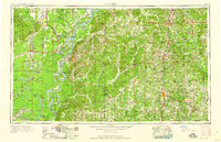
1959 · Natchez
USGS Topo · 1:250,000

1961 · Jackson
USGS Topo · 1:250,000