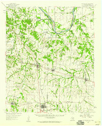
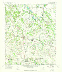
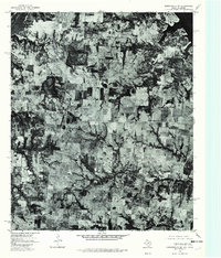
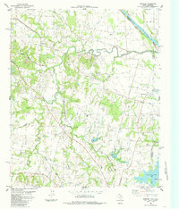
1958 Map of Whitesright
USGS Topo · Published 1959This historical map portrays the area of Whitesright in 1958, primarily covering Grayson County as well as portions of Oklahoma. Featuring a scale of 1:62500, this map provides a highly detailed snapshot of the terrain, roads, buildings, counties, and historical landmarks in the Whitesright region at the time. Published in 1959, it is one of 2 known editions of this map due to revisions or reprints.
Find a feature on this map
93 named features on this map. Tap any name to fly to it.
Don’t see what you’re looking for? This feature index may not catch every label — zoom into the map to look around manually.
Map Details
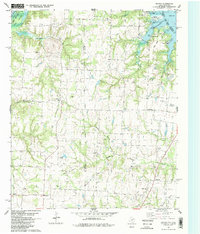
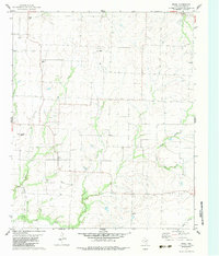
Editions of this 1958 Whitesright Map
2 editions found
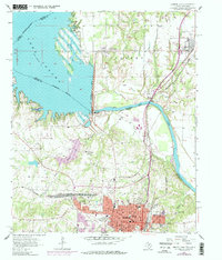
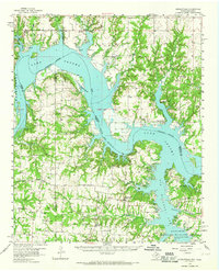
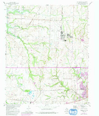
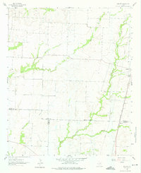
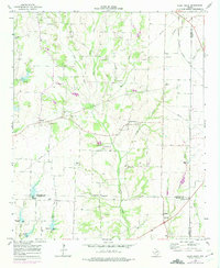
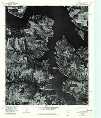
Historical Maps of Ely Through Time
12 maps found
1957 Denison Dam
Grayson County, TX
1958 Gordonville
Grayson County, TX
1958 Sherman NW
Grayson County, TX
1958 Whitesright
Grayson County, TX
1961 Marilee
Grayson County, TX
1964 Pilot Grove
Grayson County, TX
1976 Gordonville SE
Grayson County, TX
1976 Gordonville SW
Grayson County, TX
1982 Dexter
Grayson County, TX
1982 Ethel
Grayson County, TX
1982 Gordonville
Grayson County, TX
1984 Ambrose
Grayson County, TX