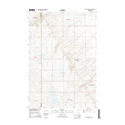
2015 Map of Whitestone Lake
USGS Topo · Published 2015About this map
Whitestone Lake dominates the southern reaches of this landscape, set against the rising elevation of the Coteau des Prairies. This highland plateau, which separates the Missouri and Big Sioux River drainage basins, dictates the local terrain and the distribution of water bodies like Lake Emma and Greys Lake. The map reveals a transition from traditional rural land use to modern residential development, specifically at Long Hollow Housing and the Valley View Estates near the Long Hollow valley. Local history is anchored by three distinct burial grounds—Spring Valley Cem, Roy Cem, and Saint Benedict Cem—located primarily along the Marshall and Roberts county line. The presence of Sieche Hollow in the northwest corner highlights the dramatic topographical breaks common along the edge of the Coteau.
Find a feature on this map
31 named features on this map. Tap any name to fly to it.
Don’t see what you’re looking for? This feature index may not catch every label — zoom into the map to look around manually.
Map Details
Editions of this 2015 Whitestone Lake Map
This is the sole edition of this map. No revisions or reprints were ever made.
Other maps of this area

1953 · Milbank
USGS Topo · 1:250,000

1958 · Milbank
USGS Topo · 1:250,000

1958 · Veblen
USGS Topo · 1:24,000

1964 · Claire City
USGS Topo · 1:24,000

1964 · Claire City SW
USGS Topo · 1:24,000

1970 · Whitestone Lake
USGS Topo · 1:24,000

1970 · Sisseton
USGS Topo · 1:24,000

1970 · South Red Iron Lake
USGS Topo · 1:24,000

1970 · Piyas Lake
USGS Topo · 1:24,000

1970 · Goodwill
USGS Topo · 1:24,000