1996 Map of Whitesville
USGS Topo · Published 2002About this map
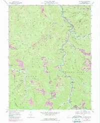
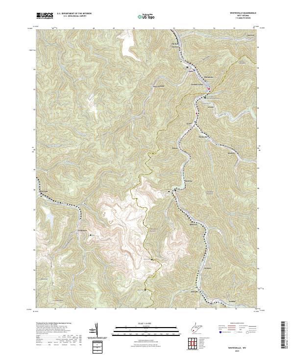
Coal River and its southern fork define the topography of this central West Virginia landscape, where the narrow valleys are crowded with small hamlets and mining infrastructure. The confluence of the Clear Fork and Marsh Fork at Whitesville serves as the focal point for a string of communities extending along the riverbanks, including Jarrolds Valley, Leevale, and Pettus. The industry of the mid-1990s is visible in the numerous strip mines and tipples that dot the ridges and hollows, particularly around Montcoal and Stickney. Local history is preserved in small family and community burial grounds such as Jarrells Cem and Asbury Cem. Higher elevations like Kayford Mountain and Bald Knob rise above the complex network of creeks, while educational centers like Marsh Fork High Sch anchor the rural population centers. The presence of an Old RR Grade near Garrison highlights the region's long-standing connection between rail transport and resource extraction.
Find a feature on this map
59 named features on this map. Tap any name to fly to it.
Don’t see what you’re looking for? This feature index may not catch every label — zoom into the map to look around manually.
Map Details
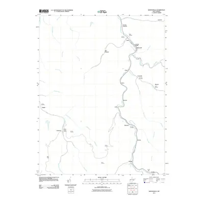
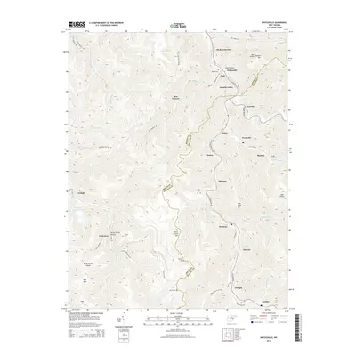
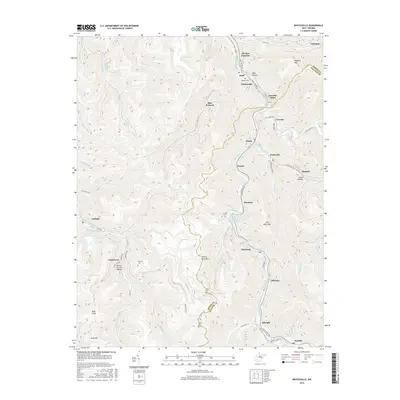
Editions of this 1996 Whitesville Map
This is the sole edition of this map. No revisions or reprints were ever made.
Historical Maps of Whitesville Through Time
7 maps found