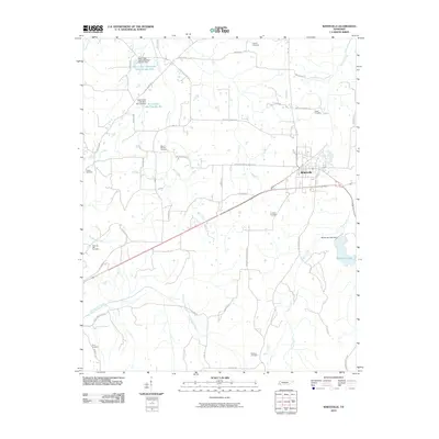
2010 Map of Whiteville
USGS Topo · Published 2010About this map
The town of Whiteville serves as the central hub of this West Tennessee landscape, where a network of rural roads such as Whiteville-Mount Moriah Rd and Whiteville-Newcastle Rd connect the town to surrounding farmland and wooded tracts. Numerous burial grounds are preserved across the area, including Mount Moriah Cemetery and Crowder Cemetery, offering significant points of interest for local history and genealogy. The terrain is defined by its water systems, notably the Loosahatchie River in the south and the Big Muddy Creek to the west. To the east, Whiteville Lake and its corresponding Whiteville Lake Dam represent a managed aquatic environment, while multiple flood control structures like Bear Creek Watershed Dam Number One dot the northern drainage of Bear Creek.
Find a feature on this map
52 named features on this map. Tap any name to fly to it.
Don’t see what you’re looking for? This feature index may not catch every label — zoom into the map to look around manually.
Map Details
Editions of this 2010 Whiteville Map
This is the sole edition of this map. No revisions or reprints were ever made.
Other maps of this area

1949 · Moscow
USGS Topo · 1:62,500

1950 · Middleburg
USGS Topo · 1:24,000

1951 · Middleburg
USGS Topo · 1:24,000

1951 · Hickory Valley
USGS Topo · 1:24,000

1952 · Dancyville
USGS Topo · 1:24,000

1952 · Laconia
USGS Topo · 1:24,000

1952 · Stanton
USGS Topo · 1:62,500

1956 · Blytheville
USGS Topo · 1:250,000

1959 · Blytheville
USGS Topo · 1:250,000

1959 · Whiteville
USGS Topo · 1:24,000