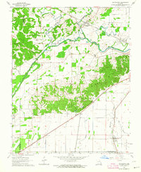
1963 Map of Whitewater
USGS Topo · Published 1964About this map
Whitewater River and the complex drainage networks of Cape Girardeau and Bollinger counties define this mid-century landscape. The map captures a critical infrastructure era where the Headwater Diversion Channel cuts across the terrain to manage the waters of the Castor River and Crooked Creek. This hydrologic engineering reshaped the lowlands, creating a patchwork of sloughs and channels like Ash Slough and Bill Bayou alongside the rising elevations of Hickory Welch Ridge.
Find a feature on this map
39 named features on this map. Tap any name to fly to it.
Don’t see what you’re looking for? This feature index may not catch every label — zoom into the map to look around manually.
Map Details
Editions of this 1963 Whitewater Map
2 editions found
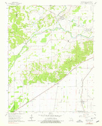
Other maps of this area

1922 · Cape Girardeau
USGS Topo · 1:62,500

1924 · Cape Girardeau
USGS Topo · 1:62,500

1933 · Marble Hill
USGS Topo · 1:62,500

1934 · Morley
USGS Topo · 1:62,500

1934 · Advance
USGS Topo · 1:62,500

1937 · Marble Hill
USGS Topo · 1:62,500

1939 · Morley
USGS Topo · 1:62,500

1939 · Advance
USGS Topo · 1:62,500

1949 · Paducah
USGS Topo · 1:250,000

1950 · Paducah
USGS Topo · 1:250,000