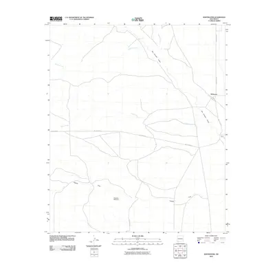
2010 Map of Whitewater
USGS Topo · Published 2010About this map
Whitewater and the nearby settlement of Stark anchor this Grant County landscape, positioned within a drainage system of ephemeral and seasonal watercourses. The network of San Vincente Arroyo, Oak Grove Creek, and Cherry Creek illustrates the complex hydrology of the high desert, where water movement is channeled through deep cuts in the terrain. The presence of White Water Rd and County Rd D002 indicates the local road infrastructure supporting the ranching or transit economy of the region. To the south, the profile of Hogback Mountain and the associated Hogback Draw dominate the topography, providing a stark geographic contrast to the flatter northern sections of the quadrangle. This survey offers a precise view of the rural Southwest just after the first decade of the 21st century.
Find a feature on this map
10 named features on this map. Tap any name to fly to it.
Don’t see what you’re looking for? This feature index may not catch every label — zoom into the map to look around manually.
Map Details
Editions of this 2010 Whitewater Map
This is the sole edition of this map. No revisions or reprints were ever made.
Other maps of this area

1909 · Silver City
USGS Topo · 1:125,000

1947 · Faywood Station
USGS Topo · 1:24,000

1948 · Hurley East
USGS Topo · 1:24,000

1949 · Whitewater
USGS Topo · 1:24,000

1949 · Hurley East
USGS Topo · 1:24,000

1949 · Faywood Station
USGS Topo · 1:24,000

1949 · Hurley West
USGS Topo · 1:24,000

1950 · Tyrone
USGS Topo · 1:24,000

1950 · White Signal
USGS Topo · 1:24,000

1951 · White Signal
USGS Topo · 1:24,000