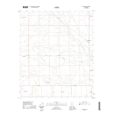
2020 Map of Whitewater
USGS Topo · Published 2020About this map
The high desert landscape of Whitewater is defined by its seasonal watercourses and prominent volcanic topography. The terrain is marked by the presence of Hogback Mtn and the adjacent Hogback Draw, while a series of intermittent streams including San Vicente Arroyo, Oak Grove Cr, Cameron Cr, and Cherry Cr cross the area. This 2020 USGS survey documents a region where transportation is tied to the topography, as seen with White Water Rd and Bertha Moore Rd. The map also captures the political boundary between Grant and Luna Counties, showing the rural infrastructure and road network such as Co Rd B002 that supports the local ranching and mining region of southwestern New Mexico.
Find a feature on this map
12 named features on this map. Tap any name to fly to it.
Don’t see what you’re looking for? This feature index may not catch every label — zoom into the map to look around manually.
Map Details
Editions of this 2020 Whitewater Map
This is the sole edition of this map. No revisions or reprints were ever made.
Other maps of this area

1909 · Silver City
USGS Topo · 1:125,000

1947 · Faywood Station
USGS Topo · 1:24,000

1948 · Hurley East
USGS Topo · 1:24,000

1949 · Whitewater
USGS Topo · 1:24,000

1949 · Hurley East
USGS Topo · 1:24,000

1949 · Faywood Station
USGS Topo · 1:24,000

1949 · Hurley West
USGS Topo · 1:24,000

1950 · Tyrone
USGS Topo · 1:24,000

1950 · White Signal
USGS Topo · 1:24,000

1951 · White Signal
USGS Topo · 1:24,000