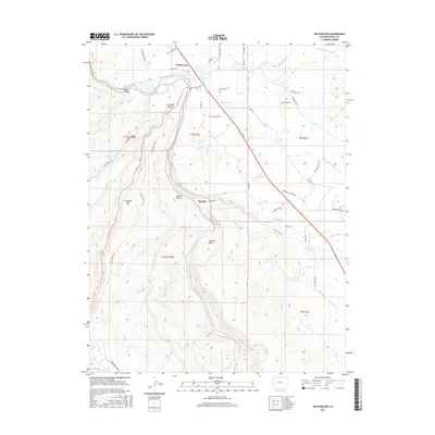
2016 Map of Whitewater
USGS Topo · Published 2016About this map
The Gunnison River carves a deep path through this landscape, marking the transition from the river valley to the dramatic elevations of Unaweep Canyon and Bangs Canyon. The settlement of Whitewater serves as a focal point near the northern edge of the map, where early irrigation efforts are evident through the complex network of the Shropshire Ditch, Purdy Mesa Flow Line, and Kannah Cr Extension Ditch. These waterways underscore the region's agricultural history, transforming the arid benches like Milbern Bench into productive land.
Find a feature on this map
47 named features on this map. Tap any name to fly to it.
Don’t see what you’re looking for? This feature index may not catch every label — zoom into the map to look around manually.
Map Details
Editions of this 2016 Whitewater Map
This is the sole edition of this map. No revisions or reprints were ever made.
Other maps of this area

1956 · Moab
USGS Topo · 1:250,000

1956 · Grand Junction
USGS Topo · 1:250,000

1959 · Grand Junction
USGS Topo · 1:250,000

1959 · Moab
USGS Topo · 1:250,000

1960 · Moab
USGS Topo · 1:250,000

1960 · Grand Junction
USGS Topo · 1:250,000

1962 · Moab
USGS Topo · 1:250,000

1962 · Grand Junction
USGS Topo · 1:250,000

1962 · Clifton
USGS Topo · 1:24,000

1962 · Grand Junction
USGS Topo · 1:24,000