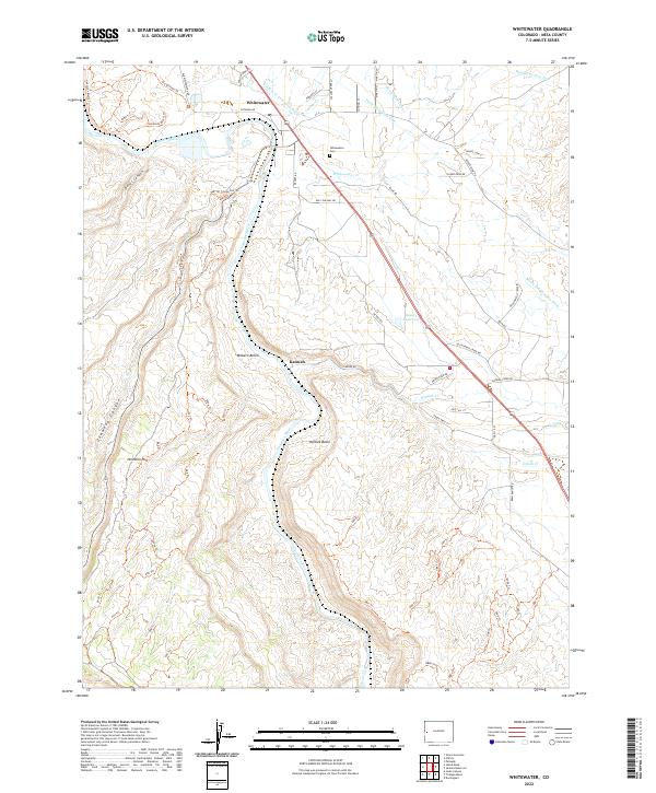
2022 Map of Whitewater
USGS Topo · Published 2022About this map
The Gunnison River carves through the landscape near the small community of Whitewater, where the historic Old Spanish Trl intersects with a modern network of roads and trails. This area, marked by dramatic elevation changes between Milbern Bench and the deep cut of Unaweep Canyon, reveals a rugged high-desert settlement pattern focused on water management. Numerous irrigation features, including the Purdy Mesa Flow Line and Kannah Cr Extension Ditch, trace the contours of the land to support local agriculture. Genealogists will find the Whitewater Cem situated near the confluence of Whitewater Cr and the main river, while land researchers can trace the old property boundaries of the settlement at Kannah. The map highlights a transition from river-bottom activity to upland basins like Hallock Basin, illustrating the importance of natural drainage and man-made ditches in Western Colorado.
Find a feature on this map
50 named features on this map. Tap any name to fly to it.
Don’t see what you’re looking for? This feature index may not catch every label — zoom into the map to look around manually.
Map Details
Editions of this 2022 Whitewater Map
This is the sole edition of this map. No revisions or reprints were ever made.
Other maps of this area

1956 · Moab
USGS Topo · 1:250,000

1956 · Grand Junction
USGS Topo · 1:250,000

1959 · Grand Junction
USGS Topo · 1:250,000

1959 · Moab
USGS Topo · 1:250,000

1960 · Moab
USGS Topo · 1:250,000

1960 · Grand Junction
USGS Topo · 1:250,000

1962 · Moab
USGS Topo · 1:250,000

1962 · Grand Junction
USGS Topo · 1:250,000

1962 · Clifton
USGS Topo · 1:24,000

1962 · Grand Junction
USGS Topo · 1:24,000