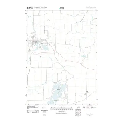
2010 Map of Whitewater
USGS Topo · Published 2010About this map
The city of Whitewater serves as the focal point of this 2010 map, illustrating the community's evolution around the banks of Whitewater Creek. The institutional presence of the University of Wisconsin-Whitewater Campus dominates the northwestern corner, while the town's industrial heritage is marked by the Old Stone Mill Dam and Old Paper Mill Dam near Cravath Lake. This transition from water-powered milling to a university-centered economy defines the modern urban landscape.
Find a feature on this map
60 named features on this map. Tap any name to fly to it.
Don’t see what you’re looking for? This feature index may not catch every label — zoom into the map to look around manually.
Map Details
Editions of this 2010 Whitewater Map
This is the sole edition of this map. No revisions or reprints were ever made.
Other maps of this area

1891 · Koshkonong
USGS Topo · 1:62,500

1892 · Whitewater
USGS Topo · 1:62,500

1893 · Delavan
USGS Topo · 1:62,500

1893 · Whitewater
USGS Topo · 1:62,500

1893 · Shopiere
USGS Topo · 1:62,500

1894 · Koshkonong
USGS Topo · 1:62,500

1903 · Whitewater
USGS Topo · 1:62,500

1906 · Koshkonong
USGS Topo · 1:62,500

1924 · Whitewater
USGS Topo · 1:62,500

1954 · Rockford
USGS Topo · 1:250,000