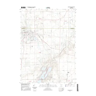
2016 Map of Whitewater
USGS Topo · Published 2016About this map
Whitewater sits at the intersection of Jefferson and Walworth counties, defined by its academic core at the Univ of Wisconsin - Whitewater and a series of glacial water bodies. The settlement patterns extend from the urban center south toward Heart Prairie, where the Norwegian Evangelical Lutheran Heart Prairie Church stands as a significant local landmark. This landscape is shaped by the complex hydrology of the region, featuring Whitewater Lake, Rice Lake, and Lake La Grange, all connected by a network of seasonal and perennial streams like Bluff Cr and Whitewater Creek.
Find a feature on this map
119 named features on this map. Tap any name to fly to it.
Don’t see what you’re looking for? This feature index may not catch every label — zoom into the map to look around manually.
Map Details
Editions of this 2016 Whitewater Map
This is the sole edition of this map. No revisions or reprints were ever made.
Other maps of this area

1891 · Koshkonong
USGS Topo · 1:62,500

1892 · Whitewater
USGS Topo · 1:62,500

1893 · Delavan
USGS Topo · 1:62,500

1893 · Whitewater
USGS Topo · 1:62,500

1893 · Shopiere
USGS Topo · 1:62,500

1894 · Koshkonong
USGS Topo · 1:62,500

1903 · Whitewater
USGS Topo · 1:62,500

1906 · Koshkonong
USGS Topo · 1:62,500

1924 · Whitewater
USGS Topo · 1:62,500

1954 · Rockford
USGS Topo · 1:250,000