Loading...
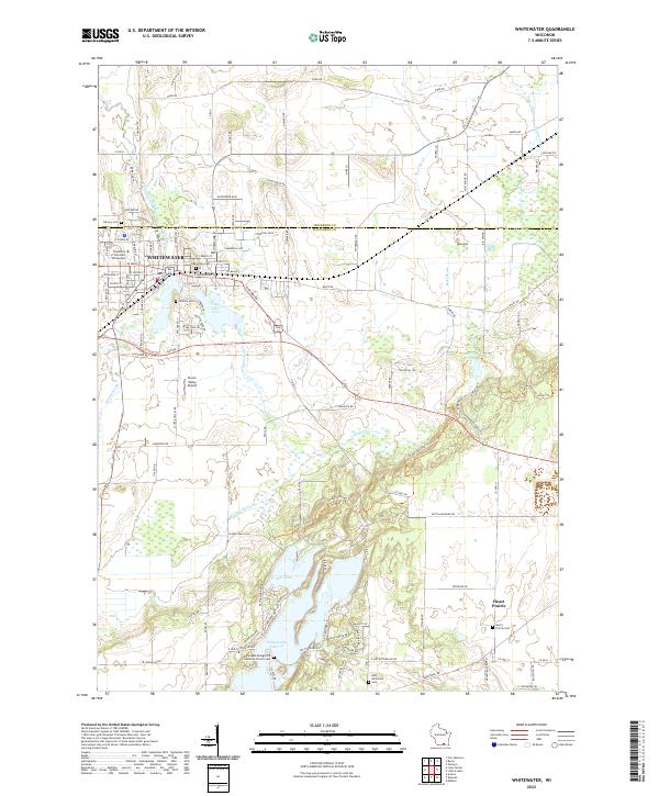
Loading map...2022 Map of Whitewater
USGS Topo · Published 2022About this map
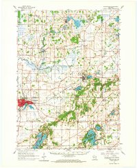
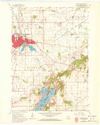
Whitewater serves as the primary hub of this landscape, dominated by the campus of the University of Wisconsin - Whitewater. The town’s history is preserved in its numerous burial grounds, including Oak Grove Cem and Hillside Cem. To the southeast, the terrain shifts into the glaciated remnants of the Kettle Moraine, where Rice Lake and Whitewater Lake provide significant water features.
Find a feature on this map
149 named features on this map. Tap any name to fly to it.
Don’t see what you’re looking for? This feature index may not catch every label — zoom into the map to look around manually.
Map Details
Date Portrayed2022
Date Published2022
PublisherU.S. Geological Survey
Map TypeTopographic
Scale1:24,000
Physical Dimensions24 x 29 inches
Editions of this 2022 Whitewater Map
This is the sole edition of this map. No revisions or reprints were ever made.
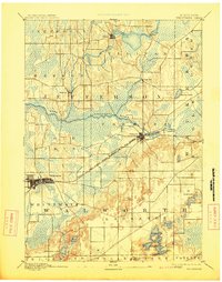
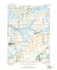
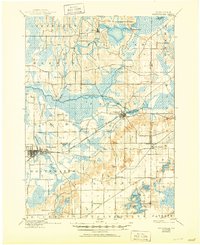
Historical Maps of Whitewater Through Time
7 maps found

Featured Locations
Source Details
SourceU.S. Geological Survey
CopyrightPublic Domain