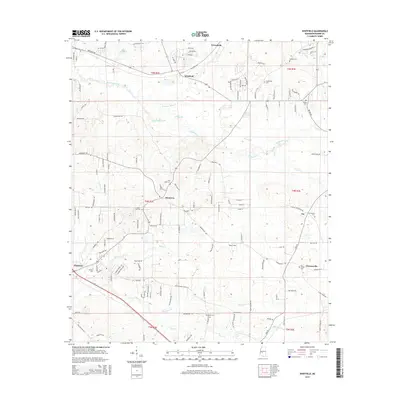
2015 Map of Whitfield
USGS Topo · Published 2015About this map
Whitfield and Greenfield sit at the center of this landscape in central Mississippi, defined by a network of drainage systems feeding into Richland Cr. The terrain is characterized by the convergence of several small waterways, including Terrapin Skin Cr and Pringle Br, which flow through a mix of residential developments and agricultural clearings. The map reveals a dense concentration of local burial grounds and spiritual sites, such as New Hope Cem and Jerusalem Cem, which provide significant anchor points for genealogical research in this part of Rankin County.
Find a feature on this map
118 named features on this map. Tap any name to fly to it.
Don’t see what you’re looking for? This feature index may not catch every label — zoom into the map to look around manually.
Map Details
Editions of this 2015 Whitfield Map
This is the sole edition of this map. No revisions or reprints were ever made.
Other maps of this area

1903 · Jackson
USGS Topo · 1:125,000

1905 · Jackson
USGS Topo · 1:48,000

1906 · Florence
USGS Topo · 1:62,500

1908 · Jackson
USGS Topo · 1:62,500

1908 · Florence
USGS Topo · 1:62,500

1922 · Pelahatchee
USGS Topo · 1:48,000

1924 · Pelahatchee
USGS Topo · 1:62,500

1950 · Pelahatchie
USGS Topo · 1:62,500

1952 · Pelahatchie
USGS Topo · 1:62,500

1953 · Meridian
USGS Topo · 1:250,000