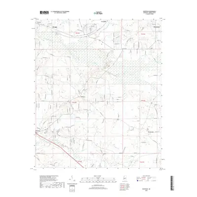
2018 Map of Whitfield
USGS Topo · Published 2018About this map
Monterey and the surrounding Rankin County countryside appear here in a landscape defined by the winding tributaries of Richland Creek. This part of Mississippi showcases a dense network of local landmarks important to family history, with several burial grounds including New Hope Cem and Jerusalem Cem dotting the hills. The community of Florence is anchored by Wesley College, while the northeastern corner shows the residential growth near Brandon. In the north, Pearl and Pearson sit near Lake Patterson, reflecting the suburban expansion out of the state capital region. The terrain is further segmented by numerous waterways such as Terrapin Skin Cr, Butler Cr, and Steepbank Cr, which carve through the land and influenced the placement of rural roads like Ebenezer Rd and Monterey Rd.
Find a feature on this map
144 named features on this map. Tap any name to fly to it.
Don’t see what you’re looking for? This feature index may not catch every label — zoom into the map to look around manually.
Map Details
Editions of this 2018 Whitfield Map
This is the sole edition of this map. No revisions or reprints were ever made.
Other maps of this area

1903 · Jackson
USGS Topo · 1:125,000

1905 · Jackson
USGS Topo · 1:48,000

1906 · Florence
USGS Topo · 1:62,500

1908 · Jackson
USGS Topo · 1:62,500

1908 · Florence
USGS Topo · 1:62,500

1922 · Pelahatchee
USGS Topo · 1:48,000

1924 · Pelahatchee
USGS Topo · 1:62,500

1950 · Pelahatchie
USGS Topo · 1:62,500

1952 · Pelahatchie
USGS Topo · 1:62,500

1953 · Meridian
USGS Topo · 1:250,000