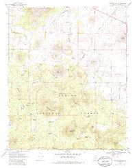
1969 Map of Whiting Knoll
USGS Topo · Published 1985About this map
Whiting Knoll rises above a high-altitude landscape dominated by the peaks of the Apache National Forest in the late 1960s. This survey documents the scattered cattle-rearing and water-management infrastructure of eastern Arizona, featuring numerous springs such as Mallory Spring, Neal Spring, and Hutcherson Spring connected by an extensive Aqueduct system. The map provides specific locations for the Whiting Homestead and Halls Ranch Spring, offering genealogical insights into the families who worked this territory. Volcanic features like Cerro Trigo and Cerro Montoso define the topography, while landmarks like Saint Peters Dome and Harris Cave provide orientation points. Cultural imprints range from the industrial Cinder Pit to the primitive jeep trails crossing Thompson Park and Potato Patch, illustrating how the land was navigated before modern road development took hold.
Find a feature on this map
50 named features on this map. Tap any name to fly to it.
Don’t see what you’re looking for? This feature index may not catch every label — zoom into the map to look around manually.
Map Details
Editions of this 1969 Whiting Knoll Map
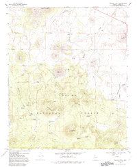
Other maps of this area

1886 · St Johns
USGS Topo · 1:250,000

1892 · St Johns
USGS Topo · 1:250,000

1954 · Saint Johns
USGS Topo · 1:250,000

1957 · Saint Johns
USGS Topo · 1:250,000

1958 · Saint Johns
USGS Topo · 1:250,000

1962 · Saint Johns
USGS Topo · 1:250,000

1968 · Boundary Butte
USGS Topo · 1:24,000

1968 · Springerville NW
USGS Topo · 1:24,000

1969 · Whiting Knoll
USGS Topo · 1:24,000
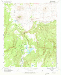
1969 · Greer
USGS Topo · 1:24,000