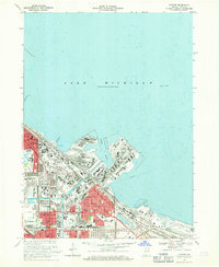
1968 Map of Whiting
USGS Topo · Published 1970About this map
The industrial shoreline of Lake Michigan dominates this late-1960s survey, where the heavy infrastructure of Whiting, Hammond, and East Chicago converges. A complex network of artificial waterways, including the Indiana Harbor Canal and Lake George Canal, facilitates maritime commerce alongside massive lakeside facilities such as an oil reservoir and a sprawling filtration plant. The map documents the dense residential and social fabric of the Calumet Region, locating numerous parochial schools like St Adalberts Sch and Sacred Heart Sch, and healthcare centers like St Catherines Hospital.
Find a feature on this map
56 named features on this map. Tap any name to fly to it.
Don’t see what you’re looking for? This feature index may not catch every label — zoom into the map to look around manually.
Map Details
Editions of this 1968 Whiting Map
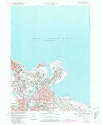
2 editions found
Other maps of this area

1889 · Chicago
USGS Topo · 1:62,500

1891 · Chicago
USGS Topo · 1:62,500

1892 · Calumet
USGS Topo · 1:62,500

1893 · Calumet
USGS Topo · 1:62,500

1900 · Chicago
USGS Topo · 1:62,500

1900 · Toleston
USGS Topo · 1:62,500

1900 · Calumet
USGS Topo · 1:62,500

1901 · Calumet
USGS Topo · 1:62,500

1901 · Chicago
USGS Topo · 1:62,500

1929 · Calumet Lake
USGS Topo · 1:24,000