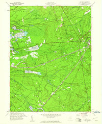
1957 Map of Whiting
USGS Topo · Published 1961About this map
The railroad junction at Whiting serves as the focal point for this mid-century survey of the New Jersey Pine Barrens. The crossing of the Pennsylvania Railroad and the Central Railroad of New Jersey highlights the region's historic role as a transportation corridor connecting coastal reaches to inland hubs. This industrial footprint is further evidenced by the numerous Cranberry Bogs scattered throughout the lowlands, particularly near the Burlington and Ocean County line, illustrating the agricultural heritage of the local wetlands.
Find a feature on this map
34 named features on this map. Tap any name to fly to it.
Don’t see what you’re looking for? This feature index may not catch every label — zoom into the map to look around manually.
Map Details
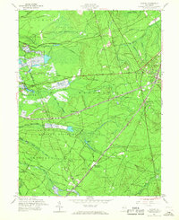
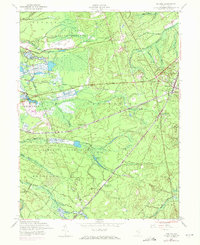
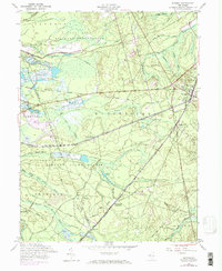
Editions of this 1957 Whiting Map
4 editions found
Other maps of this area

1884 · Whitings
USGS Topo · 1:62,500

1888 · Bordentown
USGS Topo · 1:62,500

1888 · Pemberton
USGS Topo · 1:62,500

1888 · Cassville
USGS Topo · 1:62,500

1888 · Whitings
USGS Topo · 1:62,500

1893 · Bordentown
USGS Topo · 1:62,500

1894 · Cassville
USGS Topo · 1:62,500

1894 · Pemberton
USGS Topo · 1:62,500

1898 · Pemberton
USGS Topo · 1:62,500

1900 · Cassville
USGS Topo · 1:62,500
Featured Places
- Jackson Township, NJ
- Manchester Township, NJ
- Lacey Township, NJ
- Plumsted Township, NJ
- Cedar Glen Lakes, Manchester Township