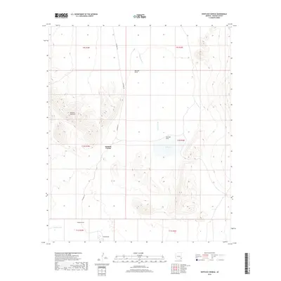
2018 Map of Whitlock Cienega
USGS Topo · Published 2018About this map
Whitlock Cienega stands as a focal point in this arid reach of Graham County, where the desert landscape is defined by the sharp relief of the Whitlock Mountains and the broad expanse of the Whitlock Valley. This 2018 survey reveals a drainage network characteristic of the region, where ephemeral features like Whitlock Wash, Hot Well Draw, and Sands Draw converge toward the basin of Parks Lake.
Find a feature on this map
16 named features on this map. Tap any name to fly to it.
Don’t see what you’re looking for? This feature index may not catch every label — zoom into the map to look around manually.
Map Details
Editions of this 2018 Whitlock Cienega Map
This is the sole edition of this map. No revisions or reprints were ever made.
Other maps of this area

1917 · San Simon
USGS Topo · 1:125,000

1926 · Orange Butte
USGS Topo · 1:62,500

1928 · Bowie
USGS Topo · 1:62,500

1949 · Bowie
USGS Topo · 1:62,500

1950 · San Simon
USGS Topo · 1:62,500

1950 · Bowie
USGS Topo · 1:62,500

1951 · San Simon
USGS Topo · 1:62,500

1954 · Silver City
USGS Topo · 1:250,000

1958 · Silver City
USGS Topo · 1:250,000

1960 · Duncan
USGS Topo · 1:62,500