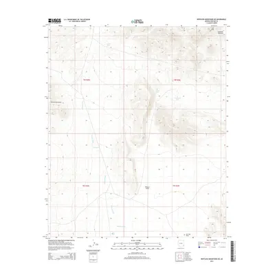
2014 Map of Whitlock Mountains NE
USGS Topo · Published 2014About this map
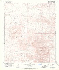
The Whitlock Mountains rise along the western edge of this arid Graham County landscape, giving way to the broad drainage systems of Whitlock Valley. This 2014 survey documents a classic high-desert terrain where water management is the primary marker of human presence. The distribution of small-scale infrastructure like Cedar Tank, Soapweed Tank, and Mud Hole Tank underscores the area's ongoing use for ranching and livestock in a territory defined by seasonal water flow.
Find a feature on this map
16 named features on this map. Tap any name to fly to it.
Don’t see what you’re looking for? This feature index may not catch every label — zoom into the map to look around manually.
Map Details
Editions of this 2014 Whitlock Mountains NE Map
This is the sole edition of this map. No revisions or reprints were ever made.
Other maps of this area

1954 · Silver City
USGS Topo · 1:250,000

1958 · Silver City
USGS Topo · 1:250,000

1959 · York Valley
USGS Topo · 1:62,500

1960 · Guthrie
USGS Topo · 1:62,500

1960 · Duncan
USGS Topo · 1:62,500

1962 · Silver City
USGS Topo · 1:250,000
1966 · Javelina Peak
USGS Topo · 1:24,000
1966 · Whitlock Cienega
USGS Topo · 1:24,000
1966 · Whitlock Mts. NE
USGS Topo · 1:24,000
1966 · Dry Mountain
USGS Topo · 1:24,000