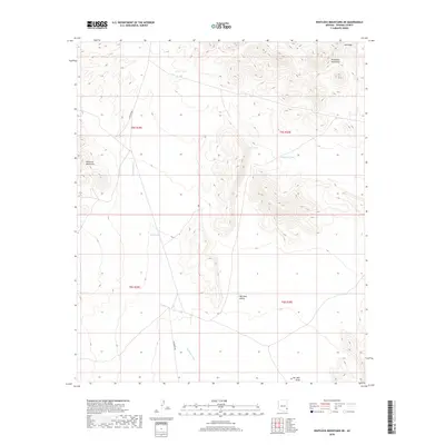
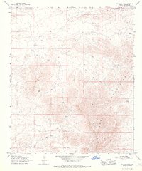
2018 Map of Whitlock Mountains NE
USGS Topo · Published 2018About this map
Whitlock Valley serves as a central basin in this Graham County landscape, framed by the surrounding peaks and ridgelines. To the east, the Peloncillo Mountains rise toward Ash Peak, while the western edge is defined by the Whitlock Mountains. This desert environment is characterized by its vital water management features, including several named catchment points such as Cedar Tank, Bat Tank, and Soapweed Tank.
Find a feature on this map
15 named features on this map. Tap any name to fly to it.
Don’t see what you’re looking for? This feature index may not catch every label — zoom into the map to look around manually.
Map Details
Editions of this 2018 Whitlock Mountains NE Map
This is the sole edition of this map. No revisions or reprints were ever made.
Other maps of this area

1954 · Silver City
USGS Topo · 1:250,000

1958 · Silver City
USGS Topo · 1:250,000

1959 · York Valley
USGS Topo · 1:62,500

1960 · Guthrie
USGS Topo · 1:62,500

1960 · Duncan
USGS Topo · 1:62,500

1962 · Silver City
USGS Topo · 1:250,000
1966 · Javelina Peak
USGS Topo · 1:24,000
1966 · Whitlock Cienega
USGS Topo · 1:24,000
1966 · Whitlock Mts. NE
USGS Topo · 1:24,000
1966 · Dry Mountain
USGS Topo · 1:24,000