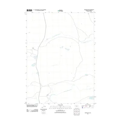
2011 Map of Whitman NW
USGS Topo · Published 2011About this map
Dumbbell Ranch and Rothwell Ranch anchor this landscape in Cherry County, representing the deep-rooted cattle ranching traditions of the Nebraska Sandhills. The terrain is defined by the winding paths of the North Branch Middle Loup River and the Middle Branch Middle Loup River, which flow across a prairie dotted with small wetlands and seasonal basins. Near the southeastern corner, Krumpf Lake provides a rare permanent water feature in an area otherwise characterized by vast stretches of undulating grass and sparse infrastructure. Local access is maintained through routes like Ambler Dr, connecting these isolated agricultural operations to the wider region. This 2011 survey illustrates the modern continuity of large-scale landholdings in one of the most sparsely populated regions of the American Great Plains.
Find a feature on this map
6 named features on this map. Tap any name to fly to it.
Don’t see what you’re looking for? This feature index may not catch every label — zoom into the map to look around manually.
Map Details
Editions of this 2011 Whitman NW Map
This is the sole edition of this map. No revisions or reprints were ever made.
Other maps of this area

1948 · Ashby
USGS Topo · 1:62,500

1948 · Whitman
USGS Topo · 1:62,500

1949 · Ashby
USGS Topo · 1:62,500

1949 · Steverson Lake
USGS Topo · 1:62,500

1949 · Turpin Lake
USGS Topo · 1:62,500

1950 · Whitman
USGS Topo · 1:62,500

1951 · Steverson Lake
USGS Topo · 1:62,500

1951 · Turpin Lake
USGS Topo · 1:62,500

1957 · Valentine
USGS Topo · 1:250,000

1959 · Valentine
USGS Topo · 1:250,000