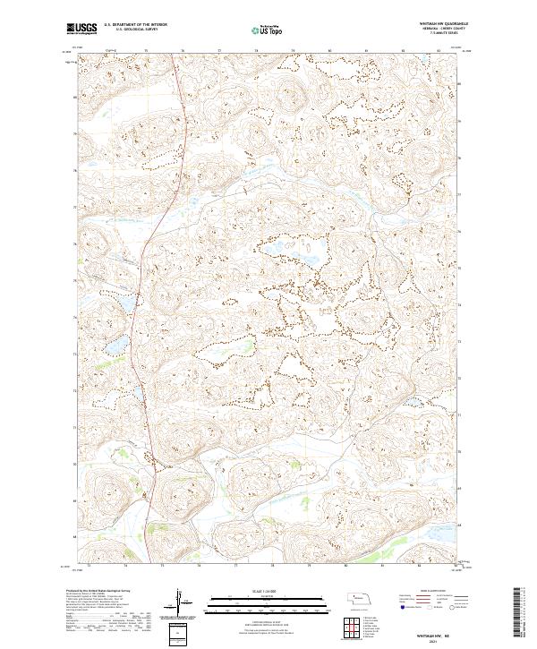
2021 Map of Whitman NW
USGS Topo · Published 2021About this map
The N Br Middle Loup River and Middle Br Middle Loup River wind through the sandhills of Cherry County, defining the hydrology of this sparsely settled landscape. This 2021 survey reveals a territory structured by the Public Land Survey System, specifically Townships 25 and 26 North across Ranges 37 and 38 West. Small bodies of water such as Krumpf Lake dot the low-lying areas between the dunes. The local road network is limited to a handful of named routes like Ambler Dr, Ponderosa Rd, and Gentry Rd, which provide access to this ranching country. The lack of traditional townsites emphasizes the contemporary isolation of the Nebraska Sandhills, where the economy remains tied to the water levels of the Loup River system and the seasonal availability of grazing land.
Find a feature on this map
13 named features on this map. Tap any name to fly to it.
Don’t see what you’re looking for? This feature index may not catch every label — zoom into the map to look around manually.
Map Details
Editions of this 2021 Whitman NW Map
This is the sole edition of this map. No revisions or reprints were ever made.
Other maps of this area

1948 · Ashby
USGS Topo · 1:62,500

1948 · Whitman
USGS Topo · 1:62,500

1949 · Ashby
USGS Topo · 1:62,500

1949 · Steverson Lake
USGS Topo · 1:62,500

1949 · Turpin Lake
USGS Topo · 1:62,500

1950 · Whitman
USGS Topo · 1:62,500

1951 · Steverson Lake
USGS Topo · 1:62,500

1951 · Turpin Lake
USGS Topo · 1:62,500

1957 · Valentine
USGS Topo · 1:250,000

1959 · Valentine
USGS Topo · 1:250,000