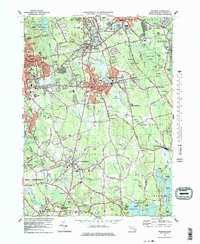
1977 Map of Whitman
USGS Topo · Published 1979About this map
Ames Nowell State Park and the sprawling Beech Hill Swamp anchor the landscape of Plymouth County during the mid-1970s. This survey illustrates the dense residential and industrial corridor along the Conrail line, connecting established centers like Whitman, Abington, and Rockland. The map reveals a suburban fabric interwoven with active agriculture and conservation, where numerous Cranberry Bogs sit adjacent to growing educational hubs like Massasoit College and Whitman-Hanson Regional High Sch.
Find a feature on this map
116 named features on this map. Tap any name to fly to it.
Don’t see what you’re looking for? This feature index may not catch every label — zoom into the map to look around manually.
Map Details
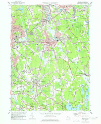
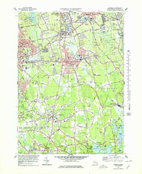
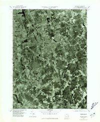
Editions of this 1977 Whitman Map
4 editions found
Other maps of this area

1885 · Abington
USGS Topo · 1:62,500

1885 · Middleboro
USGS Topo · 1:62,500

1885 · Taunton
USGS Topo · 1:62,500

1886 · Dedham
USGS Topo · 1:62,500

1888 · Taunton
USGS Topo · 1:62,500

1888 · Middleboro
USGS Topo · 1:62,500

1888 · Abington
USGS Topo · 1:62,500

1893 · Abington
USGS Topo · 1:62,500

1893 · Taunton
USGS Topo · 1:62,500

1893 · Middleboro
USGS Topo · 1:62,500