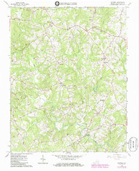
1965 Map of Whitmell
USGS Topo · Published 1986About this map
Swansonville and Whitmell anchor this mid-1960s topographic study of Pittsylvania County, which illustrates a landscape defined by its rural community nodes and extensive stream network. The Sandy River and its numerous tributaries, including Silver Creek and Hardys Creek, dictate the winding path of local roads and the placement of several historic congregations. Faith and education appear central to the area's development, evidenced by a dense concentration of neighborhood landmarks such as Swansonville Ch, Tarpleys Chapel, Wortens Chapel, and St Johns Ch.
Find a feature on this map
37 named features on this map. Tap any name to fly to it.
Don’t see what you’re looking for? This feature index may not catch every label — zoom into the map to look around manually.
Map Details
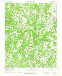
Editions of this 1965 Whitmell Map
2 editions found
Other maps of this area

1921 · Chatham
USGS Topo · 1:48,000

1922 · Callands
USGS Topo · 1:48,000

1923 · Danville
USGS Topo · 1:48,000

1923 · Chatham
USGS Topo · 1:62,500

1924 · Draper
USGS Topo · 1:48,000

1924 · Callands
USGS Topo · 1:62,500

1925 · Danville
USGS Topo · 1:62,500

1926 · Draper
USGS Topo · 1:62,500

1944 · Draper
USGS Topo · 1:62,500

1944 · Callands
USGS Topo · 1:62,500