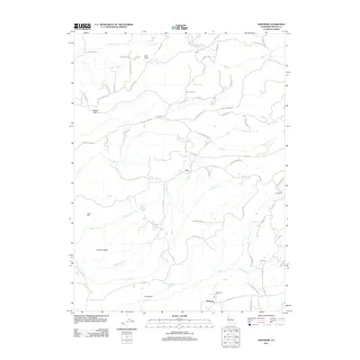
2012 Map of Whitmore
USGS Topo · Published 2012About this map
Whitmore and Fern anchor this survey of the Shasta County highlands, where a dense network of logging and ranch roads navigates a landscape carved by numerous watercourses. The local infrastructure reflects a history of resource management, notably seen in the Kilarc Powerhouse positioned along the eastern edge near Old Cow Cr. This hydroelectric facility, combined with several named logging routes like Smith Logging Rd, highlights the area's reliance on the surrounding terrain for energy and timber.
Find a feature on this map
58 named features on this map. Tap any name to fly to it.
Don’t see what you’re looking for? This feature index may not catch every label — zoom into the map to look around manually.
Map Details
Editions of this 2012 Whitmore Map
This is the sole edition of this map. No revisions or reprints were ever made.
Other maps of this area

1886 · Lassen Peak
USGS Topo · 1:250,000

1890 · Red Bluff
USGS Topo · 1:250,000

1892 · Lassen Peak
USGS Topo · 1:250,000

1894 · Lassen Peak
USGS Topo · 1:250,000

1894 · Red Bluff
USGS Topo · 1:250,000

1901 · Redding
USGS Topo · 1:125,000

1935 · Burney
USGS Topo · 1:96,000

1939 · Burney
USGS Topo · 1:125,000

1949 · Bollibokka Mtn
USGS Topo · 1:62,500

1953 · Millville
USGS Topo · 1:62,500