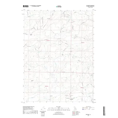
2018 Map of Whitmore
USGS Topo · Published 2018About this map
The settlement of Whitmore and the nearby community of Fern anchor this survey of the foothills east of the Sacramento Valley. The landscape is defined by the drainages of Clover Cr and Old Cow Cr, where a complex network of timber and ranch roads such as Smith Lumber Rd, Smith Logging Rd, and Amidon Ranch Rd crisscross the terrain. For genealogists, the map identifies specific local burial sites including Fern Cem and Whitmore Cem, alongside the residential cluster at Little Valley. Significant topographical features like Bullskin Ridge and Gold Hill overlook the watersheds, illustrating the area's transition from higher ridges to the deeper basins of Lawrence Basin and Coal Gulch. The road names themselves, including Stagecoach Dr and Blizzard Roost Rd, hint at the historic transit and climate of this Shasta County region.
Find a feature on this map
70 named features on this map. Tap any name to fly to it.
Don’t see what you’re looking for? This feature index may not catch every label — zoom into the map to look around manually.
Map Details
Editions of this 2018 Whitmore Map
This is the sole edition of this map. No revisions or reprints were ever made.
Other maps of this area

1886 · Lassen Peak
USGS Topo · 1:250,000

1890 · Red Bluff
USGS Topo · 1:250,000

1892 · Lassen Peak
USGS Topo · 1:250,000

1894 · Lassen Peak
USGS Topo · 1:250,000

1894 · Red Bluff
USGS Topo · 1:250,000

1901 · Redding
USGS Topo · 1:125,000

1935 · Burney
USGS Topo · 1:96,000

1939 · Burney
USGS Topo · 1:125,000

1949 · Bollibokka Mtn
USGS Topo · 1:62,500

1953 · Millville
USGS Topo · 1:62,500