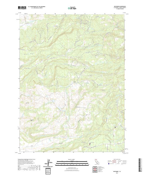
2022 Map of Whitmore
USGS Topo · Published 2022About this map
Bullskin Ridge and Gold Hill define the elevated landscape of this Shasta County region, where the small settlements of Fern and Little Valley are connected by a network of timber and ranch roads. The drainage pattern is dense and complex, with Clover Creek and Old Cow Creek carving through the terrain alongside smaller tributaries like Rosebriar Creek and Wildcat Creek. This modern survey illustrates how historical land use persists through the names of transit routes like Smith Logging Road, Smith Lumber Road, and Amidon Ranch Road. Local history and genealogy are anchored by the Fern Cem and Whitmore Cem, while geographic landmarks such as Lawrence Basin and Coal Gulch reflect the legacy of the area's natural resource extraction and ranching heritage.
Find a feature on this map
72 named features on this map. Tap any name to fly to it.
Don’t see what you’re looking for? This feature index may not catch every label — zoom into the map to look around manually.
Map Details
Editions of this 2022 Whitmore Map
This is the sole edition of this map. No revisions or reprints were ever made.
Other maps of this area

1886 · Lassen Peak
USGS Topo · 1:250,000

1890 · Red Bluff
USGS Topo · 1:250,000

1892 · Lassen Peak
USGS Topo · 1:250,000

1894 · Lassen Peak
USGS Topo · 1:250,000

1894 · Red Bluff
USGS Topo · 1:250,000

1901 · Redding
USGS Topo · 1:125,000

1935 · Burney
USGS Topo · 1:96,000

1939 · Burney
USGS Topo · 1:125,000

1949 · Bollibokka Mtn
USGS Topo · 1:62,500

1953 · Millville
USGS Topo · 1:62,500