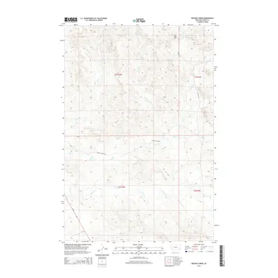
2014 Map of Whitney Creek
USGS Topo · Published 2014About this map
The Pine Hills define the northern terrain of this Montana landscape, where a series of seasonal drainages carve through the high plains of Custer County. The map captures a sophisticated network of natural water sources and human transit, notably where Bircher Springs and Finn Springs provided critical water points in an arid environment. The complex drainage systems of Whitney Cr, Log Cr, and the various branches of Mill Cr—including the W Fork Mill Cr and E Fork Mill Cr—dictate the local topography and the placement of rural routes. In the southern portion, N Woman Cr traverses the township boundaries of T6N R48E and T6N R49E. Local ranching and land management are evident through the presence of Murray Pasture Rd and Country Rd, while MT-59 and MT-332 provide modern arterial access through the western reaches of the survey area.
Find a feature on this map
18 named features on this map. Tap any name to fly to it.
Don’t see what you’re looking for? This feature index may not catch every label — zoom into the map to look around manually.
Map Details
Editions of this 2014 Whitney Creek Map
This is the sole edition of this map. No revisions or reprints were ever made.
Other maps of this area

1953 · Miles City
USGS Topo · 1:250,000

1957 · Miles City
USGS Topo · 1:250,000

1958 · Miles City
USGS Topo · 1:250,000

1968 · Miles City
USGS Topo · 1:24,000

1968 · Paddy Fay Creek
USGS Topo · 1:24,000

1969 · Horse Creek
USGS Topo · 1:24,000

1969 · Haines Springs
USGS Topo · 1:24,000

1969 · Circle L Creek
USGS Topo · 1:24,000

1969 · First Creek
USGS Topo · 1:24,000

1969 · Government Hill
USGS Topo · 1:24,000