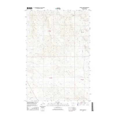
2017 Map of Whitney Creek
USGS Topo · Published 2017About this map
The Pine Hills dominate the northern landscape of this Custer County quadrangle, where the terrain is defined by a network of drainage systems feeding into the broader watershed. This 2017 survey reveals a classic Montana ranching landscape, shaped by seasonal water sources such as Bircher Springs and Finn Springs. The area's transport and utility are evidenced by long ranching roads like Murray Ranch Rd and Murray Pasture Rd, which navigate the elevation changes between Whitney Creek and the various forks of Mill Cr. In the southwestern corner, Tongue River Rd parallels the valley, marking the primary corridor for movement through these cattle and sheep ranching townships. The placement of named water features like Log Cr and N Woman Cr highlights the critical importance of riparian access in this arid high-plains environment.
Find a feature on this map
18 named features on this map. Tap any name to fly to it.
Don’t see what you’re looking for? This feature index may not catch every label — zoom into the map to look around manually.
Map Details
Editions of this 2017 Whitney Creek Map
This is the sole edition of this map. No revisions or reprints were ever made.
Other maps of this area

1953 · Miles City
USGS Topo · 1:250,000

1957 · Miles City
USGS Topo · 1:250,000

1958 · Miles City
USGS Topo · 1:250,000

1968 · Miles City
USGS Topo · 1:24,000

1968 · Paddy Fay Creek
USGS Topo · 1:24,000

1969 · Horse Creek
USGS Topo · 1:24,000

1969 · Haines Springs
USGS Topo · 1:24,000

1969 · Circle L Creek
USGS Topo · 1:24,000

1969 · First Creek
USGS Topo · 1:24,000

1969 · Government Hill
USGS Topo · 1:24,000