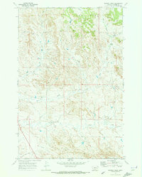
1969 Map of Whitney Creek
USGS Topo · Published 1973About this map
The Pine Hills dominate the northern landscape of this Custer County quadrangle, where the terrain breaks into complex drainages feeding toward the Tongue River valley in the southwest. Mapping in the late 1960s reveals a ranching landscape defined more by isolated water sources than by human settlements. Named springs like Bircher Springs, Finn Springs, and East Springs provide essential anchors in the arid high country, while intermittent flows such as Whitney Creek and Log Creek carve the local topography. This area, located near the Custer and Montana border, shows minimal industrial development outside of scattered Gravel Pits and drilling activity, highlighting the region's enduring character as open range and timbered hills.
Find a feature on this map
14 named features on this map. Tap any name to fly to it.
Don’t see what you’re looking for? This feature index may not catch every label — zoom into the map to look around manually.
Map Details
Editions of this 1969 Whitney Creek Map
This is the sole edition of this map. No revisions or reprints were ever made.
Other maps of this area

1953 · Miles City
USGS Topo · 1:250,000

1957 · Miles City
USGS Topo · 1:250,000

1958 · Miles City
USGS Topo · 1:250,000

1968 · Miles City
USGS Topo · 1:24,000

1968 · Paddy Fay Creek
USGS Topo · 1:24,000

1969 · Horse Creek
USGS Topo · 1:24,000

1969 · Haines Springs
USGS Topo · 1:24,000

1969 · Circle L Creek
USGS Topo · 1:24,000

1969 · First Creek
USGS Topo · 1:24,000

1969 · Government Hill
USGS Topo · 1:24,000