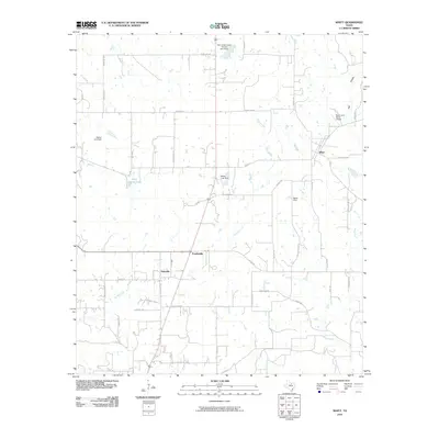
2010 Map of Whitt
USGS Topo · Published 2010About this map
Whitt and its surrounding rural countryside north of Mineral Wells are defined by a network of ranch roads and water management sites in the early 21st century. The landscape is marked by several hydraulic features, including the Soil Conservation Service Site 8 Dam and the Decker Lake Dam, which control the flow of Salt Branch and Turkey Creek. These engineering projects support a region largely characterized by dispersed homesteads and agricultural operations rather than dense urban centers.
Find a feature on this map
44 named features on this map. Tap any name to fly to it.
Don’t see what you’re looking for? This feature index may not catch every label — zoom into the map to look around manually.
Map Details
Editions of this 2010 Whitt Map
This is the sole edition of this map. No revisions or reprints were ever made.
Other maps of this area

1891 · Weatherford
USGS Topo · 1:125,000

1891 · Palo Pinto
USGS Topo · 1:125,000

1893 · Weatherford
USGS Topo · 1:125,000

1918 · Palo Pinto
USGS Topo · 1:125,000

1924 · Palo Pinto 1-b
USGS Topo · 1:48,000

1927 · Mineral Wells
USGS Topo · 1:62,500

1954 · Dallas
USGS Topo · 1:250,000

1954 · Sherman
USGS Topo · 1:250,000

1954 · Abilene
USGS Topo · 1:250,000

1954 · Wichita Falls
USGS Topo · 1:250,000