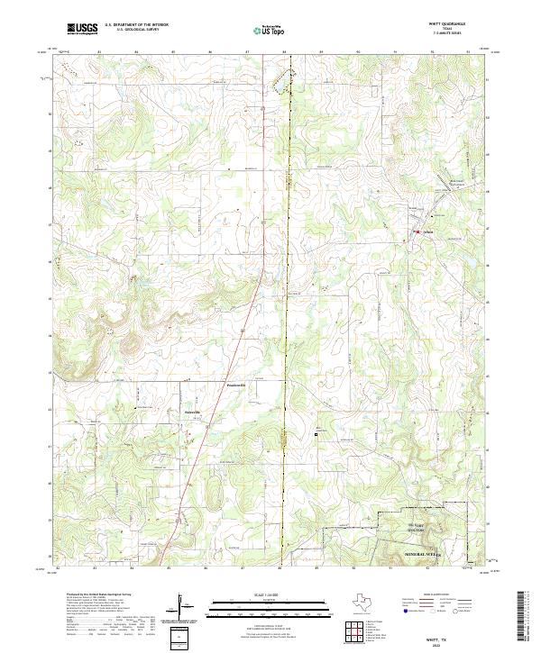
2022 Map of Whitt
USGS Topo · Published 2022About this map
Whitt anchors the northern portion of this landscape where the Palo Pinto Co Parker Co line divides the rolling ranch land. The settlement patterns here follow a network of rural roads such as W FM 1885 and Old Oran Rd, connecting long-standing communities like Salesville and Peadenville. For genealogists, the map identifies key burial grounds including Whitt Cem, Rock Creek Cem, and Grantham Cem, which serve as vital markers of the area's pioneer history.
Find a feature on this map
46 named features on this map. Tap any name to fly to it.
Don’t see what you’re looking for? This feature index may not catch every label — zoom into the map to look around manually.
Map Details
Editions of this 2022 Whitt Map
This is the sole edition of this map. No revisions or reprints were ever made.
Other maps of this area

1891 · Weatherford
USGS Topo · 1:125,000

1891 · Palo Pinto
USGS Topo · 1:125,000

1893 · Weatherford
USGS Topo · 1:125,000

1918 · Palo Pinto
USGS Topo · 1:125,000

1924 · Palo Pinto 1-b
USGS Topo · 1:48,000

1927 · Mineral Wells
USGS Topo · 1:62,500

1954 · Dallas
USGS Topo · 1:250,000

1954 · Sherman
USGS Topo · 1:250,000

1954 · Abilene
USGS Topo · 1:250,000

1954 · Wichita Falls
USGS Topo · 1:250,000