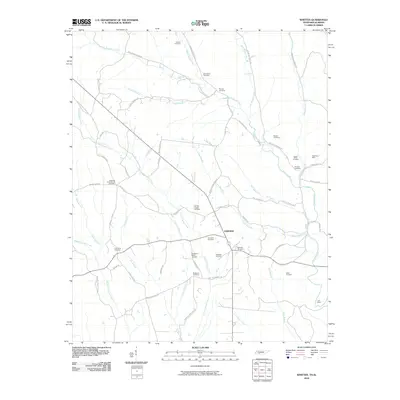
2010 Map of Whitten
USGS Topo · Published 2010About this map
The settlement of Fairview serves as a central point in this rural landscape, situated at a junction of roads and drainages near the Tennessee-Alabama border. This 2010 survey highlights a region defined by its reliance on small watercourses like Little Cypress Creek and Butler Creek, which are fed by numerous branches and springs. The map is particularly notable for its dense concentration of burial grounds, providing a significant resource for genealogists. Many of these, such as Whitten Chapel Cemetery, Whittens Cross Roads Cemetery, and Roberson Cemetery, carry family names that reflect the local heritage of the area.
Find a feature on this map
58 named features on this map. Tap any name to fly to it.
Don’t see what you’re looking for? This feature index may not catch every label — zoom into the map to look around manually.
Map Details
Editions of this 2010 Whitten Map
This is the sole edition of this map. No revisions or reprints were ever made.
Other maps of this area

1905 · Waynesboro
USGS Topo · 1:125,000

1914 · Muscle Shoals
USGS Topo · 1:48,000

1916 · Muscle Shoals
USGS Topo · 1:62,500

1924 · Gravelly Springs
USGS Topo · 1:48,000

1926 · Gravelly Springs
USGS Topo · 1:62,500

1936 · Westpoint
USGS Topo · 1:24,000

1936 · Collinwood
USGS Topo · 1:24,000

1936 · Light
USGS Topo · 1:24,000

1936 · Threet
USGS Topo · 1:24,000

1936 · Cypress Inn
USGS Topo · 1:24,000