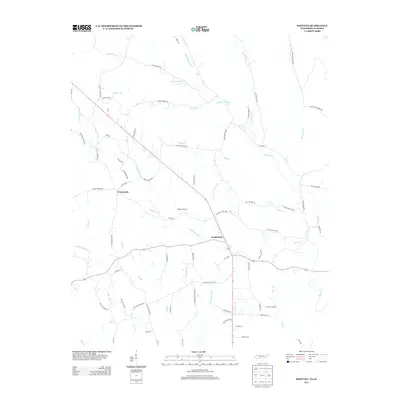
2013 Map of Whitten
USGS Topo · Published 2013About this map
Fairview and the agricultural lands of Whitten Farms anchor this landscape in Wayne County, Tennessee, near the Alabama border. The area is defined by a dense network of watercourses, including Little Cypress Creek, Butler Creek, and Middle Cypress Creek, which drain the undulating terrain. A cluster of rural residences and intersections at Crossroads suggests a long-standing community pattern where local commerce met the agricultural hinterland. Numerous family-named roads and geographic features, such as Swanegan Branch, Stults Branch, and First Butler Creek, indicate deep generational ties to the land. The presence of several distinct branches, including Mill Branch and Little Dry Branch, underscores the complex drainage of this upland region during the early twenty-first century.
Find a feature on this map
72 named features on this map. Tap any name to fly to it.
Don’t see what you’re looking for? This feature index may not catch every label — zoom into the map to look around manually.
Map Details
Editions of this 2013 Whitten Map
This is the sole edition of this map. No revisions or reprints were ever made.
Other maps of this area

1905 · Waynesboro
USGS Topo · 1:125,000

1914 · Muscle Shoals
USGS Topo · 1:48,000

1916 · Muscle Shoals
USGS Topo · 1:62,500

1924 · Gravelly Springs
USGS Topo · 1:48,000

1926 · Gravelly Springs
USGS Topo · 1:62,500

1936 · Westpoint
USGS Topo · 1:24,000

1936 · Collinwood
USGS Topo · 1:24,000

1936 · Light
USGS Topo · 1:24,000

1936 · Threet
USGS Topo · 1:24,000

1936 · Cypress Inn
USGS Topo · 1:24,000