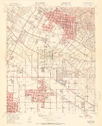
1951 Map of Whittier
USGS Topo · Published 1951About this map
Pio Pico Mansion State Historical Monument stands as a primary cultural anchor in this mid-century landscape, situated where the Rio Hondo and San Gabriel River systems define the western valley. This post-war era shows the transition of the Paso De Bartolo and Santa Gertrudes ranchos into a dense network of suburban tracts and industrial corridors. The economy is heavily influenced by the petroleum industry, evidenced by the numerous oil sumps and refineries surrounding Santa Fe Springs.
Find a feature on this map
103 named features on this map. Tap any name to fly to it.
Don’t see what you’re looking for? This feature index may not catch every label — zoom into the map to look around manually.
Map Details
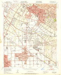
Editions of this 1951 Whittier Map
2 editions found
Other maps of this area

1894 · Los Angeles
USGS Topo · 1:62,500

1894 · Pomona
USGS Topo · 1:62,500

1896 · Pasadena
USGS Topo · 1:62,500

1896 · Anaheim
USGS Topo · 1:62,500

1896 · Downey
USGS Topo · 1:62,500

1897 · Pomona
USGS Topo · 1:62,500

1898 · Pomona
USGS Topo · 1:62,500

1898 · Anaheim
USGS Topo · 1:62,500

1899 · Downey
USGS Topo · 1:62,500

1900 · Pasadena
USGS Topo · 1:62,500