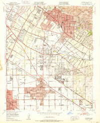
1951 Map of Whittier
USGS Topo · Published 1951About this map
The Pio Pico Mansion State Historical Monument stands as a focal point of early California heritage near the banks of the San Gabriel River. During the early 1950s, this landscape underwent a rapid shift from agricultural rancho roots to suburban industrialization. The map reveals a dense network of institutional and educational landmarks, from Whittier College and the Nelles Sch for Boys to the expansive grounds of the Norwalk State Hospital.
Find a feature on this map
90 named features on this map. Tap any name to fly to it.
Don’t see what you’re looking for? This feature index may not catch every label — zoom into the map to look around manually.
Map Details
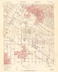
Editions of this 1951 Whittier Map
2 editions found
Other maps of this area

1894 · Los Angeles
USGS Topo · 1:62,500

1894 · Pomona
USGS Topo · 1:62,500

1896 · Pasadena
USGS Topo · 1:62,500

1896 · Anaheim
USGS Topo · 1:62,500

1896 · Downey
USGS Topo · 1:62,500

1897 · Pomona
USGS Topo · 1:62,500

1898 · Pomona
USGS Topo · 1:62,500

1898 · Anaheim
USGS Topo · 1:62,500

1899 · Downey
USGS Topo · 1:62,500

1900 · Pasadena
USGS Topo · 1:62,500