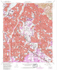
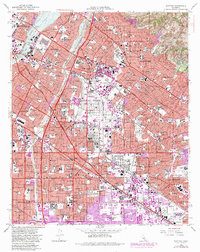
1965 Map of Whittier
USGS Topo · Published 1984About this map
Whittier and the surrounding Los Angeles Basin communities are shown here in a period of intense post-war expansion. The map details a complex landscape where traditional institutions like Whittier College and the Metropolitan State Hospital stand alongside the rapidly developing residential grids of Pico Rivera, Norwalk, and La Mirada. This 1965 survey, updated with 1981 purple-tinted revisions, reveals the corridor's evolution from an agricultural and oil-producing region to a densely built suburban environment.
Find a feature on this map
51 named features on this map. Tap any name to fly to it.
Don’t see what you’re looking for? This feature index may not catch every label — zoom into the map to look around manually.
Map Details
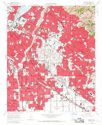
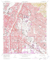
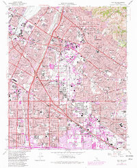
Editions of this 1965 Whittier Map
5 editions found
Other maps of this area

1894 · Los Angeles
USGS Topo · 1:62,500

1894 · Pomona
USGS Topo · 1:62,500

1896 · Pasadena
USGS Topo · 1:62,500

1896 · Anaheim
USGS Topo · 1:62,500

1896 · Downey
USGS Topo · 1:62,500

1897 · Pomona
USGS Topo · 1:62,500

1898 · Pomona
USGS Topo · 1:62,500

1898 · Anaheim
USGS Topo · 1:62,500

1899 · Downey
USGS Topo · 1:62,500

1900 · Pasadena
USGS Topo · 1:62,500