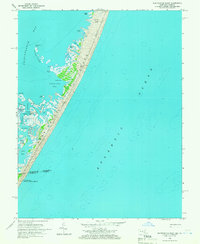
1964 Map of Whittington Point
USGS Topo · Published 1966About this map
Assateague Island stretches across this mid-1960s survey, illustrating the complex coastal geography where Maryland and Virginia meet. The landscape is dominated by the marshlands and tidal channels of the Chincoteague National Wildlife Refuge, featuring intricate waterways like Middlemoor Ditch and the Thorofare. On the leeward side of the barrier island, small family-named landmarks and landings such as Scotts Landing and Scotts Point mark the transition from the mainland-facing Chincoteague Bay to the marshy interior. The map documents a pristine coastal environment before significant modern development, preserving the locations of remote spots like Pope Island and the Pirate Islands. These features highlight the area's long history as a maritime resource, where the balance between the Atlantic Ocean and the sheltered bays defined local life and navigation.
Find a feature on this map
26 named features on this map. Tap any name to fly to it.
Don’t see what you’re looking for? This feature index may not catch every label — zoom into the map to look around manually.
Map Details
Editions of this 1964 Whittington Point Map
4 editions found
Other maps of this area

1901 · Snow Hill
USGS Topo · 1:62,500

1901 · Green Run
USGS Topo · 1:62,500

1938 · Green Run
USGS Topo · 1:62,500

1942 · Chincoteague East
USGS Topo · 1:24,000

1942 · Tingles Island
USGS Topo · 1:24,000

1942 · Wesley
USGS Topo · 1:24,000

1943 · Boxiron
USGS Topo · 1:31,680

1943 · Whittington Point
USGS Topo · 1:31,680
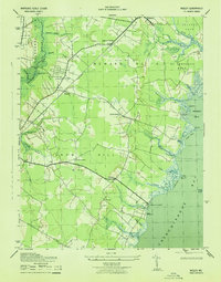
1943 · Wesley
USGS Topo · 1:31,680
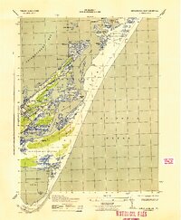
1943 · Chincoteague East
USGS Topo · 1:31,680