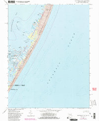
1964 Map of Whittington Point
USGS Topo · Published 1980About this map
Assateague Island National Seashore dominates this coastal landscape, capturing a narrow barrier island stretch between the Atlantic Ocean and the intricate waters of Chincoteague Bay. This 1964 survey, updated with 1980 photorevisions, documents the delicate topography of the Maryland-Virginia border, where the Chincoteague National Wildlife Refuge provides a managed sanctuary across Middlemoor and Rum Harbor Marsh.
Find a feature on this map
31 named features on this map. Tap any name to fly to it.
Don’t see what you’re looking for? This feature index may not catch every label — zoom into the map to look around manually.
Map Details
Editions of this 1964 Whittington Point Map
4 editions found
Other maps of this area

1901 · Snow Hill
USGS Topo · 1:62,500

1901 · Green Run
USGS Topo · 1:62,500

1938 · Green Run
USGS Topo · 1:62,500

1942 · Chincoteague East
USGS Topo · 1:24,000

1942 · Tingles Island
USGS Topo · 1:24,000

1942 · Wesley
USGS Topo · 1:24,000

1943 · Boxiron
USGS Topo · 1:31,680

1943 · Whittington Point
USGS Topo · 1:31,680
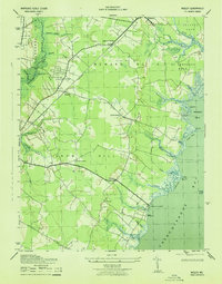
1943 · Wesley
USGS Topo · 1:31,680
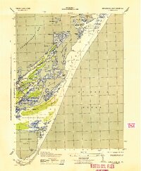
1943 · Chincoteague East
USGS Topo · 1:31,680