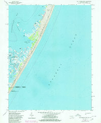
1964 Map of Whittington Point
USGS Topo · Published 1980About this map
Assateague Island National Seashore dominates this coastal survey, preserving a wild stretch of the Atlantic barrier island system along the Maryland Virginia border. The landscape is defined by the thin strip of sand and marsh separating the Atlantic Ocean from the sheltered waters of Chincoteague Bay. Small, isolated landings like Scotts Landing and the former site of Green Run hint at the area's human history prior to its federal protection.
Find a feature on this map
29 named features on this map. Tap any name to fly to it.
Don’t see what you’re looking for? This feature index may not catch every label — zoom into the map to look around manually.
Map Details
Editions of this 1964 Whittington Point Map
4 editions found
Other maps of this area

1901 · Snow Hill
USGS Topo · 1:62,500

1901 · Green Run
USGS Topo · 1:62,500

1938 · Green Run
USGS Topo · 1:62,500

1942 · Chincoteague East
USGS Topo · 1:24,000

1942 · Tingles Island
USGS Topo · 1:24,000

1942 · Wesley
USGS Topo · 1:24,000

1943 · Boxiron
USGS Topo · 1:31,680

1943 · Whittington Point
USGS Topo · 1:31,680
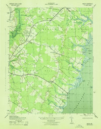
1943 · Wesley
USGS Topo · 1:31,680
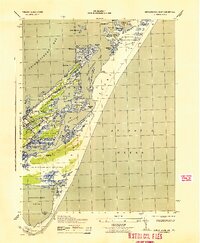
1943 · Chincoteague East
USGS Topo · 1:31,680