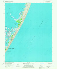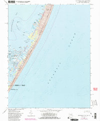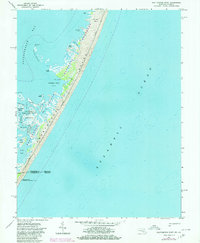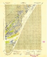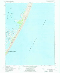
Assateague Island stretches across this mid-1960s survey, capturing a thin, wild barrier between the Atlantic Ocean and the sheltered waters of Chincoteague Bay. The landscape is dominated by the intricate wetlands and marshes of the Chincoteague National Wildlife Refuge, which spans the border between Worcester County, Maryland, and Accomack County, Virginia. Evidence of coastal life and navigation is scattered along the western lee of the island at Scotts Landing and Green Run, while inland features like Middlemoor and Fox Hill Level suggest the subtle elevation changes that define this sandy environment. Further south, the map details the complex drainage of Rum Harbor Marsh and the Thorofare, leading toward Pope Island at the Virginia state line, reflecting the area's role as a vital habitat and geographic boundary.
31 named features on this map. Tap any name to fly to it.
Don’t see what you’re looking for? This feature index may not catch every label — zoom into the map to look around manually.
4 editions found
66 maps found

1901 Green Run
Worcester County, MD

1938 Green Run
Worcester County, MD

1942 Dividing Creek
Worcester County, MD

1942 Ninepin
Worcester County, MD

1942 Tingles Island
Worcester County, MD

1942 Wesley
Worcester County, MD

1942 Whaleysville
Worcester County, MD

1943 Assawoman Bay
Worcester County, MD

1943 Boxiron
Worcester County, MD

1943 Dividing Creek
Worcester County, MD

1943 Ninepin
Worcester County, MD

1943 Tingles Island
Worcester County, MD

1943 Wesley
Worcester County, MD

1943 Whaleysville
Worcester County, MD

1943 Whittington Point
Worcester County, MD

1944 Green Run
Worcester County, MD

1953 Assawoman Bay
Worcester County, MD

1953 Boxiron
Worcester County, MD

1953 Whittington Point
Worcester County, MD

1964 Boxiron
Worcester County, MD

1964 Tingles Island
Worcester County, MD

1964 Whittington Point
Worcester County, MD

1967 Assawoman Bay
Worcester County, MD

1967 Public Landing
Worcester County, MD

1973 Dividing Creek
Worcester County, MD

1980 Assawoman Bay
Worcester County, MD

1982 Ninepin Branch
Worcester County, MD

1992 Assawoman Bay
Worcester County, MD

1992 Whaleysville
Worcester County, MD

1997 Assawoman Bay
Worcester County, MD

1998 Tingles Island
Worcester County, MD
2011 Boxiron
Worcester County, MD
2011 Dividing Creek
Worcester County, MD
2011 Ninepin Branch
Worcester County, MD
2011 Public Landing
Worcester County, MD
2011 Tingles Island
Worcester County, MD
2011 Whittington Point
Worcester County, MD
2013 Assawoman Bay
Worcester County, MD
2014 Assawoman Bay
Worcester County, MD
2014 Boxiron
Worcester County, MD
2014 Dividing Creek
Worcester County, MD
2014 Ninepin Branch
Worcester County, MD
2014 Public Landing
Worcester County, MD
2014 Tingles Island
Worcester County, MD
2014 Whittington Point
Worcester County, MD
2016 Assawoman Bay
Worcester County, MD
2016 Boxiron
Worcester County, MD
2016 Dividing Creek
Worcester County, MD
2016 Ninepin Branch
Worcester County, MD
2016 Public Landing
Worcester County, MD
2016 Tingles Island
Worcester County, MD
2016 Whittington Point
Worcester County, MD
2019 Assawoman Bay
Worcester County, MD
2019 Boxiron
Worcester County, MD
2019 Dividing Creek
Worcester County, MD
2019 Ninepin Branch
Worcester County, MD
2019 Public Landing
Worcester County, MD
2019 Tingles Island
Worcester County, MD
2019 Whittington Point
Worcester County, MD

2023 Assawoman Bay
Worcester County, MD

2023 Boxiron
Worcester County, MD

2023 Dividing Creek
Worcester County, MD

2023 Ninepin Branch
Worcester County, MD

2023 Public Landing
Worcester County, MD

2023 Tingles Island
Worcester County, MD

2023 Whittington Point
Worcester County, MD