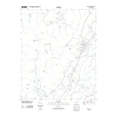
2010 Map of Whitwell
USGS Topo · Published 2010About this map
The Whitwell settlement and its surrounding plateau terrain define this 2010 survey of the Sequatchie Valley. The map documents an extensive industrial heritage, tracing numerous extraction sites including the Whitwell Mine, Victoria Mine, and the Nunley Number 1 Mine. These features, clustered along the slopes of the Cumberland Plateau, suggest a landscape deeply shaped by the regional coal and mineral economy.
Find a feature on this map
110 named features on this map. Tap any name to fly to it.
Don’t see what you’re looking for? This feature index may not catch every label — zoom into the map to look around manually.
Map Details
Editions of this 2010 Whitwell Map
This is the sole edition of this map. No revisions or reprints were ever made.
Other maps of this area

1888 · Chattanooga
USGS Topo · 1:125,000

1893 · Chattanooga
USGS Topo · 1:125,000

1895 · Sewanee
USGS Topo · 1:125,000

1936 · Palmer
USGS Topo · 1:24,000

1936 · Daus
USGS Topo · 1:24,000

1936 · Whitwell
USGS Topo · 1:24,000

1936 · Tracy City
USGS Topo · 1:24,000

1936 · Ketner Gap
USGS Topo · 1:24,000

1936 · White City
USGS Topo · 1:24,000

1936 · Wauhatchie
USGS Topo · 1:24,000