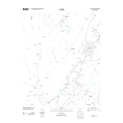
2013 Map of Whitwell
USGS Topo · Published 2013About this map
The Sequatchie River valley defines this landscape, where the town of Whitwell serves as a central hub for the surrounding rural communities of Red Hill and Victoria. The terrain is marked by deep coves and prominent points, including Alum Cove and Dittany Point, which illustrate the complex geography of the plateau edges. To the north, the settlement of Pine Hill and the distinctive geological features of The Chimneys and The Pocket suggest a history of isolated upland life, while family-named routes like Pine Hill Cemetery Rd and Sardis Church Rd point to deep-seated local roots.
Find a feature on this map
139 named features on this map. Tap any name to fly to it.
Don’t see what you’re looking for? This feature index may not catch every label — zoom into the map to look around manually.
Map Details
Editions of this 2013 Whitwell Map
This is the sole edition of this map. No revisions or reprints were ever made.
Other maps of this area

1888 · Chattanooga
USGS Topo · 1:125,000

1893 · Chattanooga
USGS Topo · 1:125,000

1895 · Sewanee
USGS Topo · 1:125,000

1936 · Palmer
USGS Topo · 1:24,000

1936 · Daus
USGS Topo · 1:24,000

1936 · Whitwell
USGS Topo · 1:24,000

1936 · Tracy City
USGS Topo · 1:24,000

1936 · Ketner Gap
USGS Topo · 1:24,000

1936 · White City
USGS Topo · 1:24,000

1936 · Wauhatchie
USGS Topo · 1:24,000