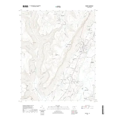
2019 Map of Whitwell
USGS Topo · Published 2019About this map
The Sequatchie River winds through this 2019 survey of Marion County, Tennessee, tracing the fertile Sequatchie Valley between the dramatic elevations of the Cumberland Plateau. The map highlights a landscape deeply shaped by its topography, where settlements like Whitwell and Victoria developed along the valley floor while the western portion is dominated by intricate coves including Little Sequatchie Cove and Coppinger Cove. Local history is preserved through a high density of small family and community burial grounds, such as Price Cem, Walker Cem, and the Kilgore Family Cem.
Find a feature on this map
143 named features on this map. Tap any name to fly to it.
Don’t see what you’re looking for? This feature index may not catch every label — zoom into the map to look around manually.
Map Details
Editions of this 2019 Whitwell Map
This is the sole edition of this map. No revisions or reprints were ever made.
Other maps of this area

1888 · Chattanooga
USGS Topo · 1:125,000

1893 · Chattanooga
USGS Topo · 1:125,000

1895 · Sewanee
USGS Topo · 1:125,000

1936 · Palmer
USGS Topo · 1:24,000

1936 · Daus
USGS Topo · 1:24,000

1936 · Whitwell
USGS Topo · 1:24,000

1936 · Tracy City
USGS Topo · 1:24,000

1936 · Ketner Gap
USGS Topo · 1:24,000

1936 · White City
USGS Topo · 1:24,000

1936 · Wauhatchie
USGS Topo · 1:24,000