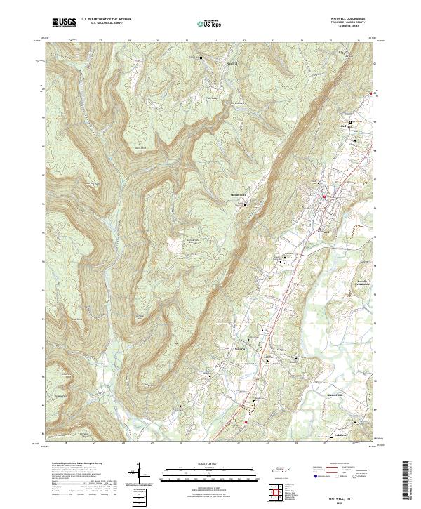
2022 Map of Whitwell
USGS Topo · Published 2022About this map
The Sequatchie Valley serves as the central corridor for this 2022 survey, where the Sequatchie River flows past established settlements like Whitwell and Victoria. To the west, the landscape rises sharply into the Cumberland Plateau, characterized by deep coves and prominent spurs such as Dittany Point and Low Gap Point. This topographic transition is marked by numerous family-named landmarks and smaller communities like Pine Hill and Mount Olive, which sit on the high ground overlooking the fertile valley below.
Find a feature on this map
143 named features on this map. Tap any name to fly to it.
Don’t see what you’re looking for? This feature index may not catch every label — zoom into the map to look around manually.
Map Details
Editions of this 2022 Whitwell Map
This is the sole edition of this map. No revisions or reprints were ever made.
Other maps of this area

1888 · Chattanooga
USGS Topo · 1:125,000

1893 · Chattanooga
USGS Topo · 1:125,000

1895 · Sewanee
USGS Topo · 1:125,000

1936 · Palmer
USGS Topo · 1:24,000

1936 · Daus
USGS Topo · 1:24,000

1936 · Whitwell
USGS Topo · 1:24,000

1936 · Tracy City
USGS Topo · 1:24,000

1936 · Ketner Gap
USGS Topo · 1:24,000

1936 · White City
USGS Topo · 1:24,000

1936 · Wauhatchie
USGS Topo · 1:24,000